
Primary market
Solar Panel Inspections
RGB and thermal aerial capture for solar farms, commercial rooftops, and residential arrays — organized for operations and maintenance review.
Overview
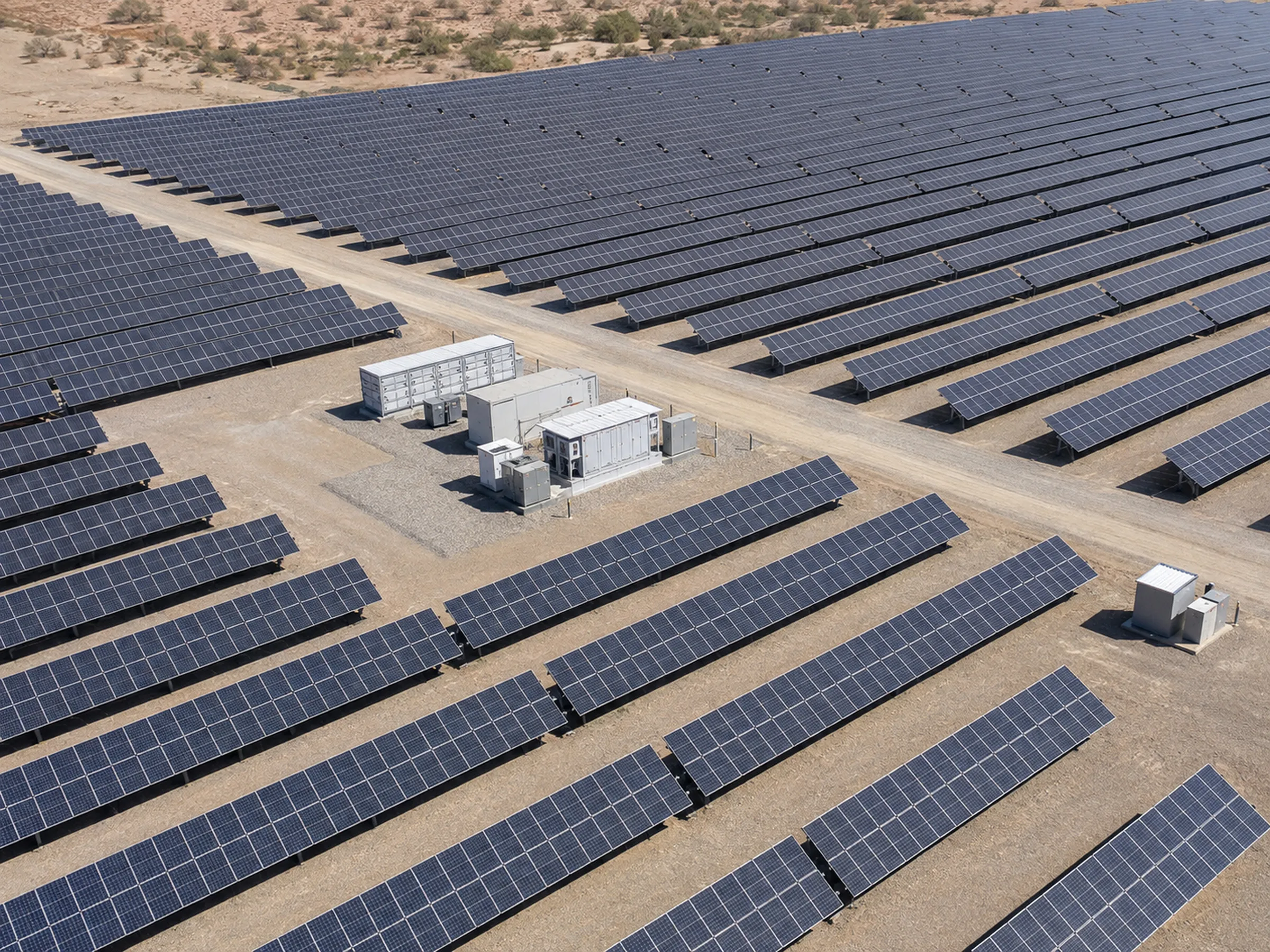
Solar arrays cover ground faster than teams can walk them. Aerial capture documents a full array in a fraction of the time ground inspection requires, and produces a visual record you can return to.
Vertex inspects utility-scale solar farms, commercial rooftop arrays, and residential systems. Utility-scale and commercial work is where most of our capacity goes, and where repeatable large-area capture makes the clearest difference — but the same aircraft and the same reporting apply to a single rooftop.
We fly planned missions across each site, collecting RGB and thermal imagery under conditions suited to the mission. Data arrives organized by area so your team, your O&M provider, or a qualified specialist can review it efficiently.
Scope and deliverables
What we capture
- RGB aerial imagery across module rows, blocks, and full site extents
- Thermal aerial imagery captured when irradiance and site conditions support a useful mission
- Large-area site documentation including access roads, inverter pads, combiner areas, and perimeter
- Repeatable waypoint capture so later flights can match earlier viewpoints
- Construction and commissioning progress capture for sites still being built
- Location-aware and mapping-oriented capture where the selected workflow supports it
What you receive
- High-resolution RGB image sets organized by block or area
- Thermal image sets where conditions supported the mission
- Video documentation of site conditions where requested
- Organized folder structures aligned to your site naming
- Orthomosaic-oriented outputs when included in the agreed workflow
Preliminary estimate
Estimate inspection cost
Tell us the size of your array to see indicative ranges for all three inspection packages. No contact details needed.
Request a project review
Add your details and we will confirm scope and price for your site.
Your estimate
Edit estimateThank you
We’ve received your inquiry and will be in touch.
Scope boundaries
What this service does not include
Being precise about the edges of our scope is part of doing this work properly. These are the limits of what Vertex provides on this service.
- Vertex performs data acquisition. We do not perform electrical diagnosis or determine the electrical cause of an observed thermal signature.
- We do not provide guaranteed defect classification or defect counts.
- We do not certify inspections to IEC or any other standard, and we are not a thermography-certification body.
- We do not run automated or AI-based defect detection analytics.
- Thermal capture depends on irradiance, weather, and time of day. Suitability is confirmed during scoping rather than promised in advance.
How a project runs
From defined scope to reviewable data
Every engagement follows the same sequence, so you know what happens before, during, and after the flight.
-
Project scope and deliverables
We agree what the asset is, what needs documenting, and exactly which outputs you receive. Scope is defined before anything is flown.
-
Airspace, site, access, and mission planning
Airspace is checked and authorizations obtained where required. Site access, hazards, and the capture pattern are planned in advance.
-
RGB, thermal, video, or mapping-oriented capture
Missions are flown to the agreed pattern. Thermal capture is scheduled for conditions that make it useful rather than simply convenient.
-
File organization and quality review
Imagery is checked for coverage and usability, then organized into a folder structure that matches how your team refers to the asset.
-
Delivery for client or specialist analysis
Organized data is delivered for review by your team, your contractor, your insurer, or a qualified specialist.
Related capabilities
-
Wind Energy Aerial Inspections
Exterior visual documentation of turbines and supporting infrastructure, captured to a planned pattern.
-
Aerial Mapping and 3D Documentation
Orthomosaic-oriented capture, site models, and spatial documentation for planning and coordination.
-
Construction Progress Monitoring
Scheduled, repeatable progress capture from consistent viewpoints across the project lifecycle.
Request a project review
Tell us what needs documenting and we will confirm whether aerial capture is the right approach, what it would cover, and what you would receive.
Useful details to include
- Asset or project type
- Site location
- Approximate site size or number of assets
- Required outputs
- Desired schedule
- Site access conditions