
Aerial Inspection & Data Services
Advanced Aerial Inspections for Solar, Wind & Critical Infrastructure
Vertex Aerial Solutions provides organized RGB, thermal, and mapping-oriented aerial data for renewable-energy, commercial, construction, and industrial projects. Based in Las Vegas and available nationwide for qualifying large-scale work.
- FAA Part 107 Certificated remote pilot
- RGB + Thermal Dual-sensor capture
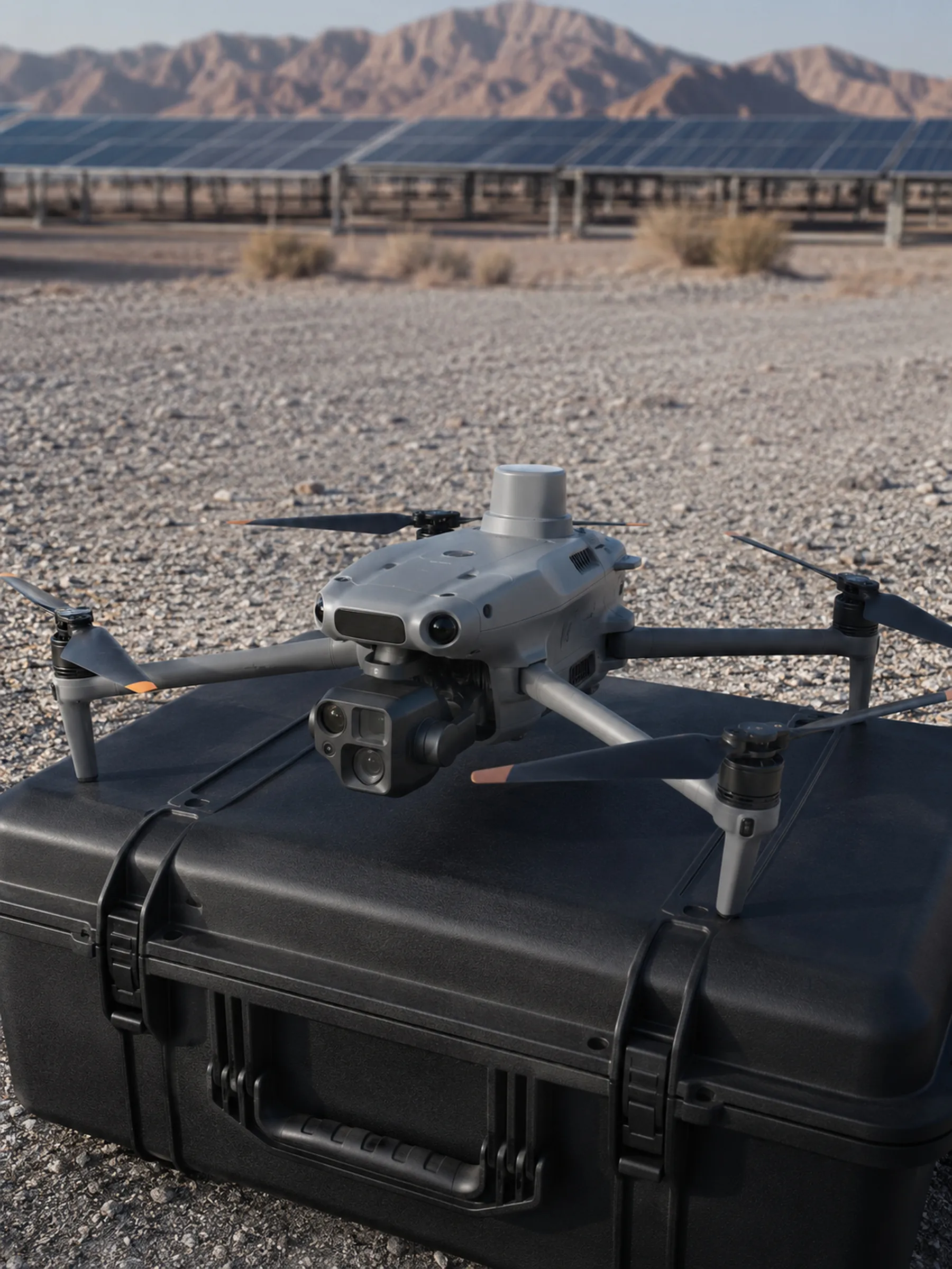
- DJI Matrice 4T Current aircraft platform
- Southwest Based Las Vegas, Nevada
- Nationwide Mobilization For qualifying projects
Industries
Built around the assets we document most
Large and complex assets, where aerial capture changes how a site gets documented.
-
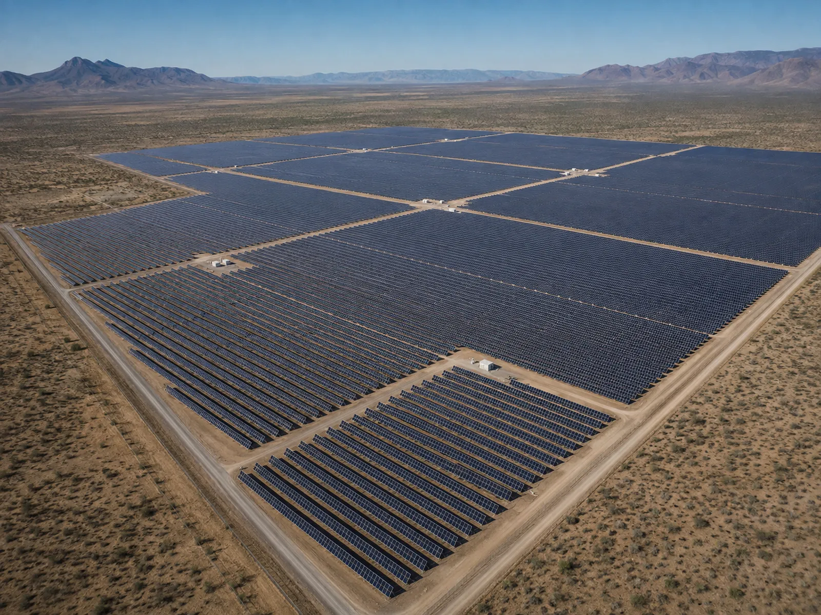
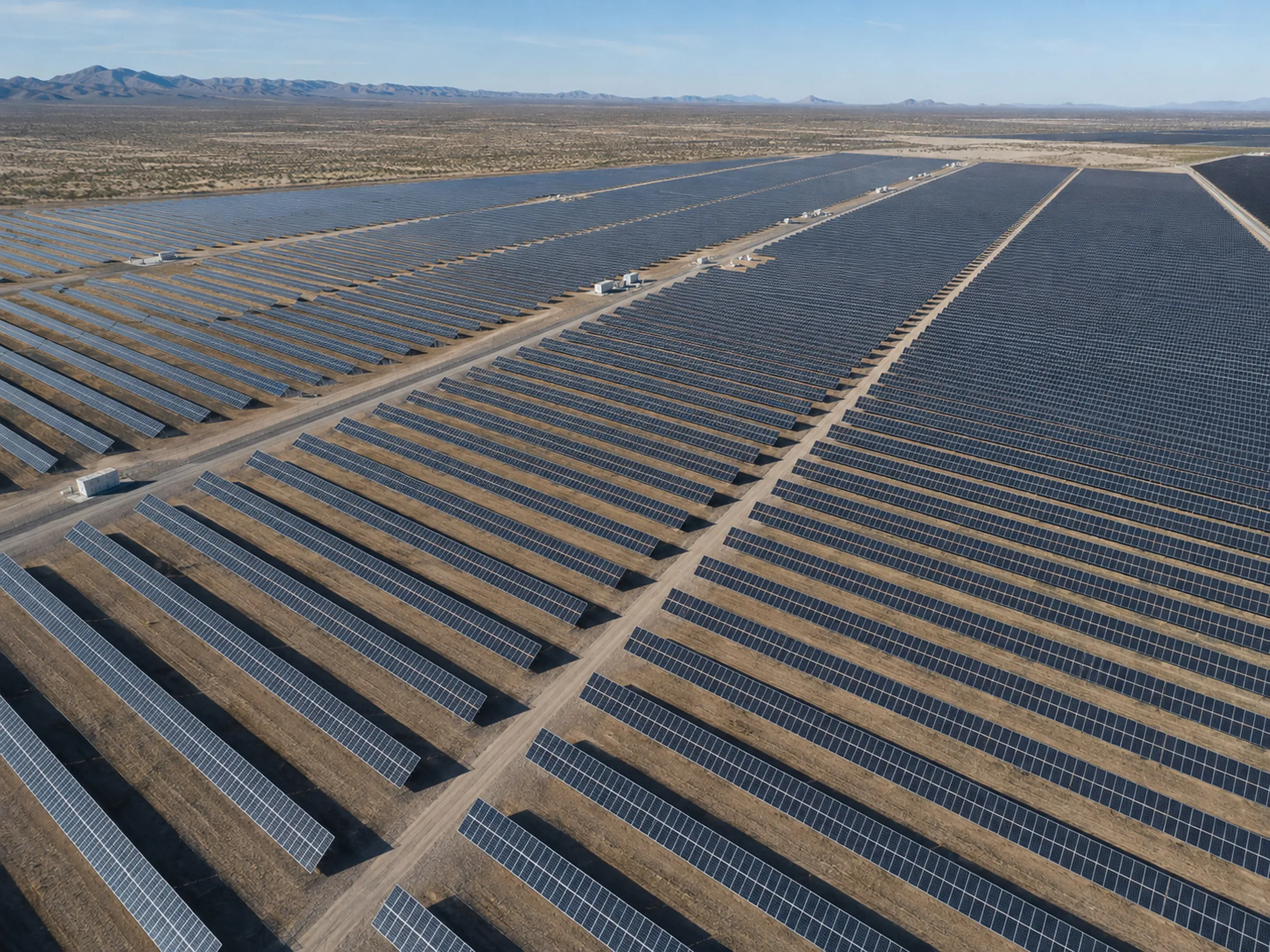
Utility-Scale Solar
RGB and thermal aerial capture for solar farms, commercial rooftops, and residential arrays — organized for operations and maintenance review.
-
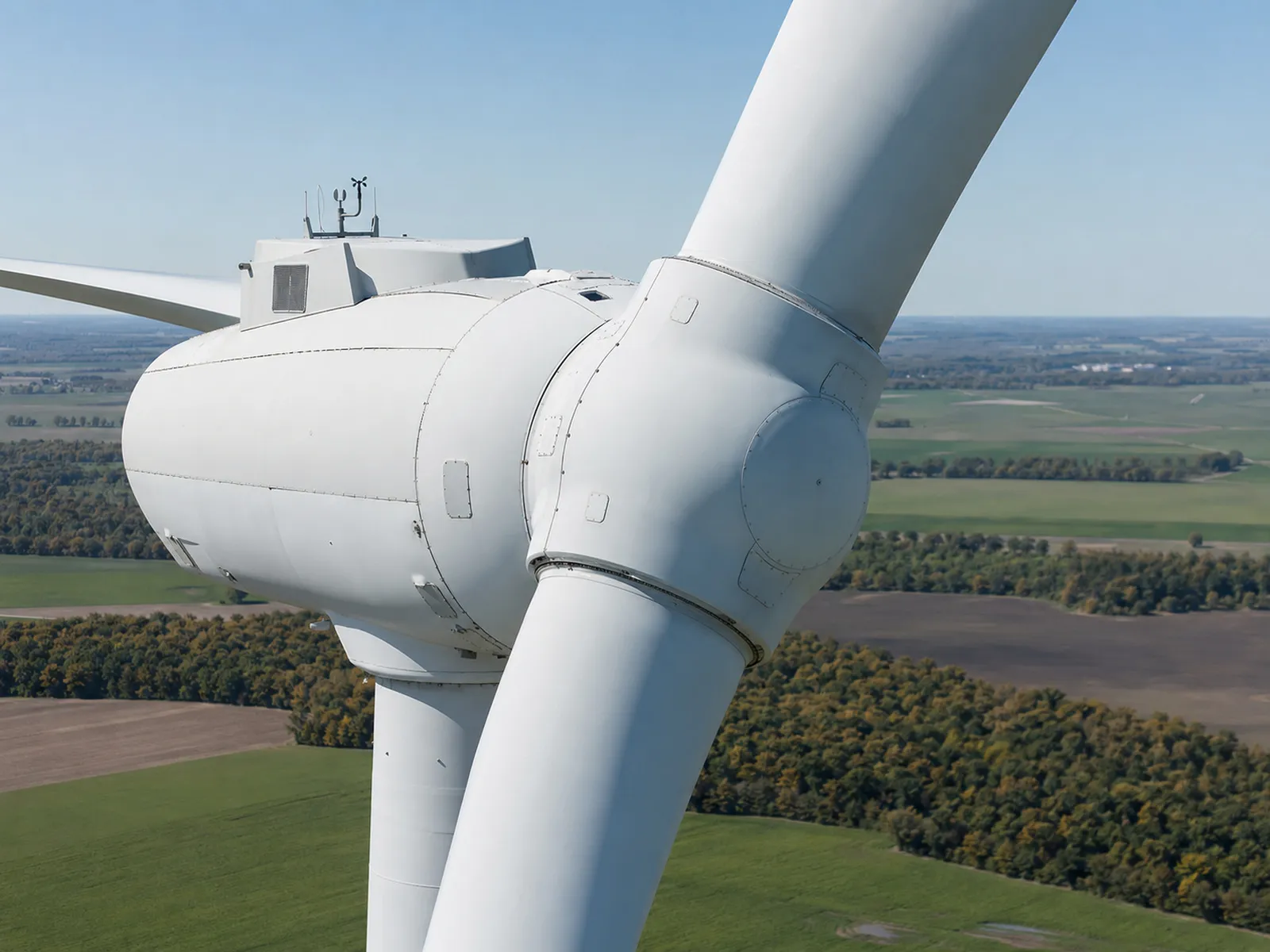
Wind Energy
Exterior visual documentation of turbines and supporting infrastructure, captured to a planned pattern.
-
Commercial & Industrial Assets
Exterior asset documentation across commercial property and industrial facilities.
-
Construction & Development
Scheduled, repeatable progress capture from consistent viewpoints across the project lifecycle.
Core capture capabilities
Services
Selected capabilities
Each service page sets out its scope, deliverables, and limits in full.
-
Primary market
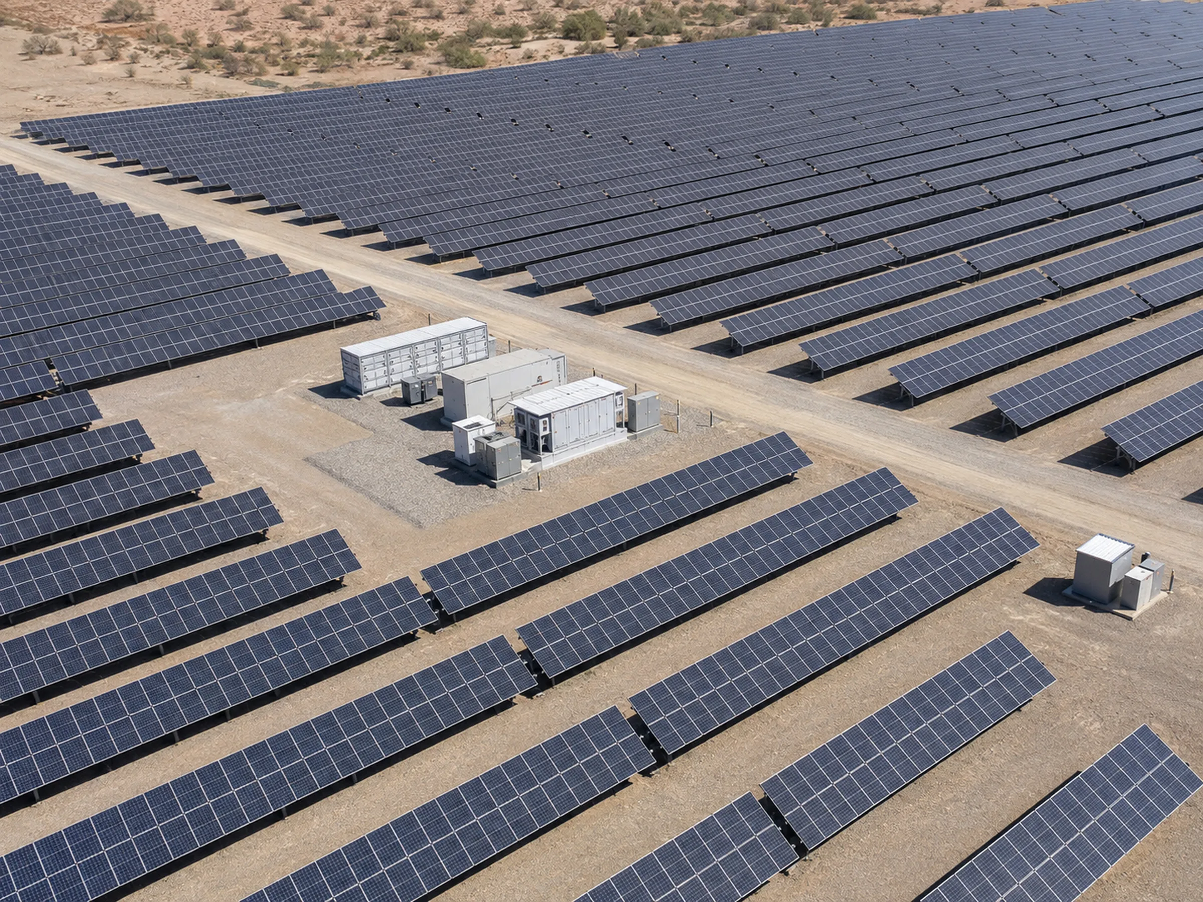
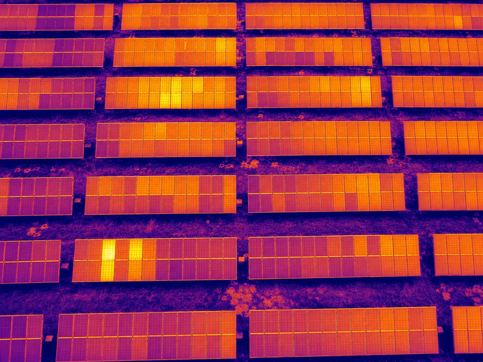
Solar Panel Inspections
RGB and thermal aerial capture for solar farms, commercial rooftops, and residential arrays — organized for operations and maintenance review.
-
Primary market
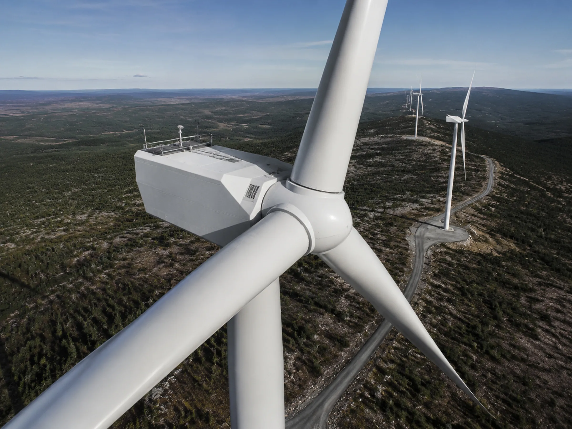
Wind Energy Aerial Inspections
Exterior visual documentation of turbines and supporting infrastructure, captured to a planned pattern.
-
Commercial & industrial
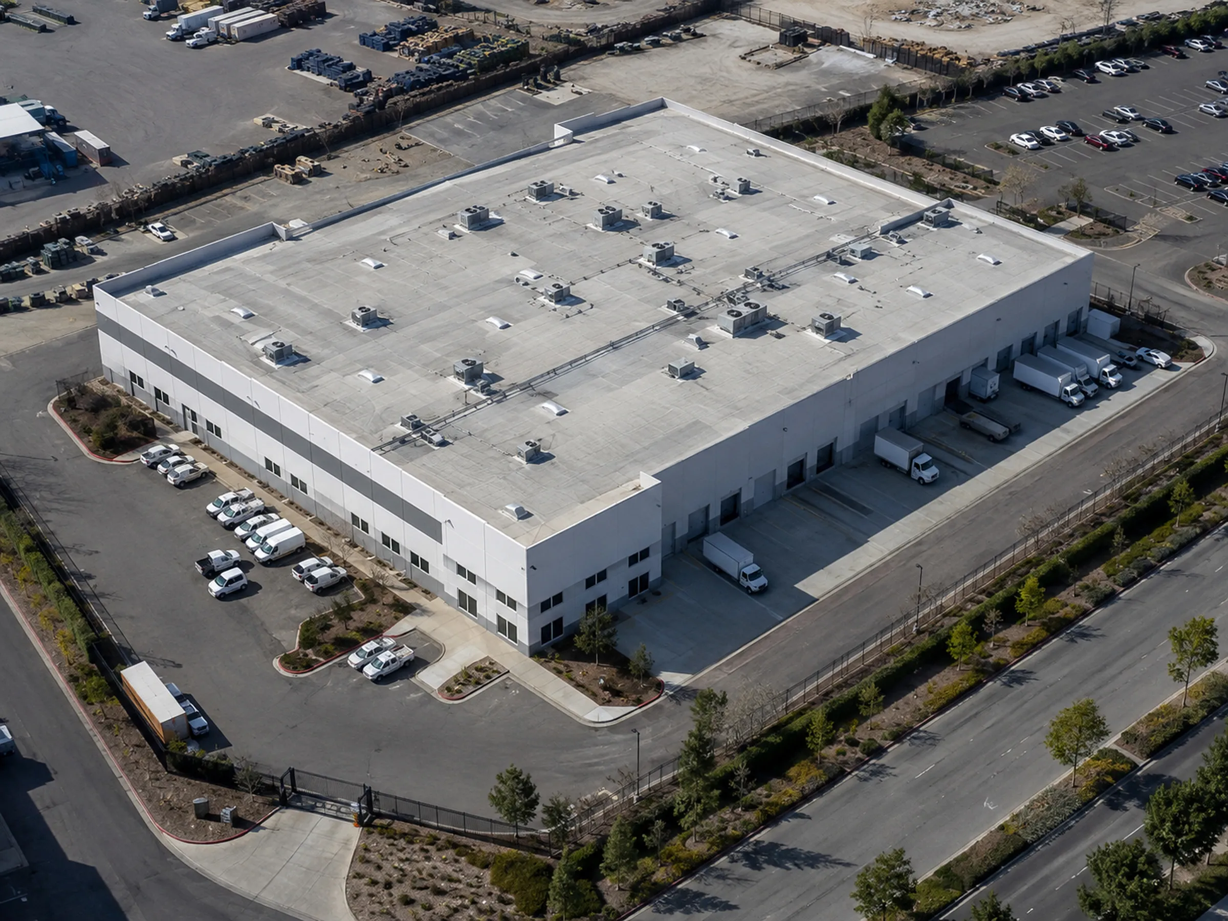
Commercial and Industrial Site Inspections
Exterior asset documentation across commercial property and industrial facilities.
-
Commercial & industrial
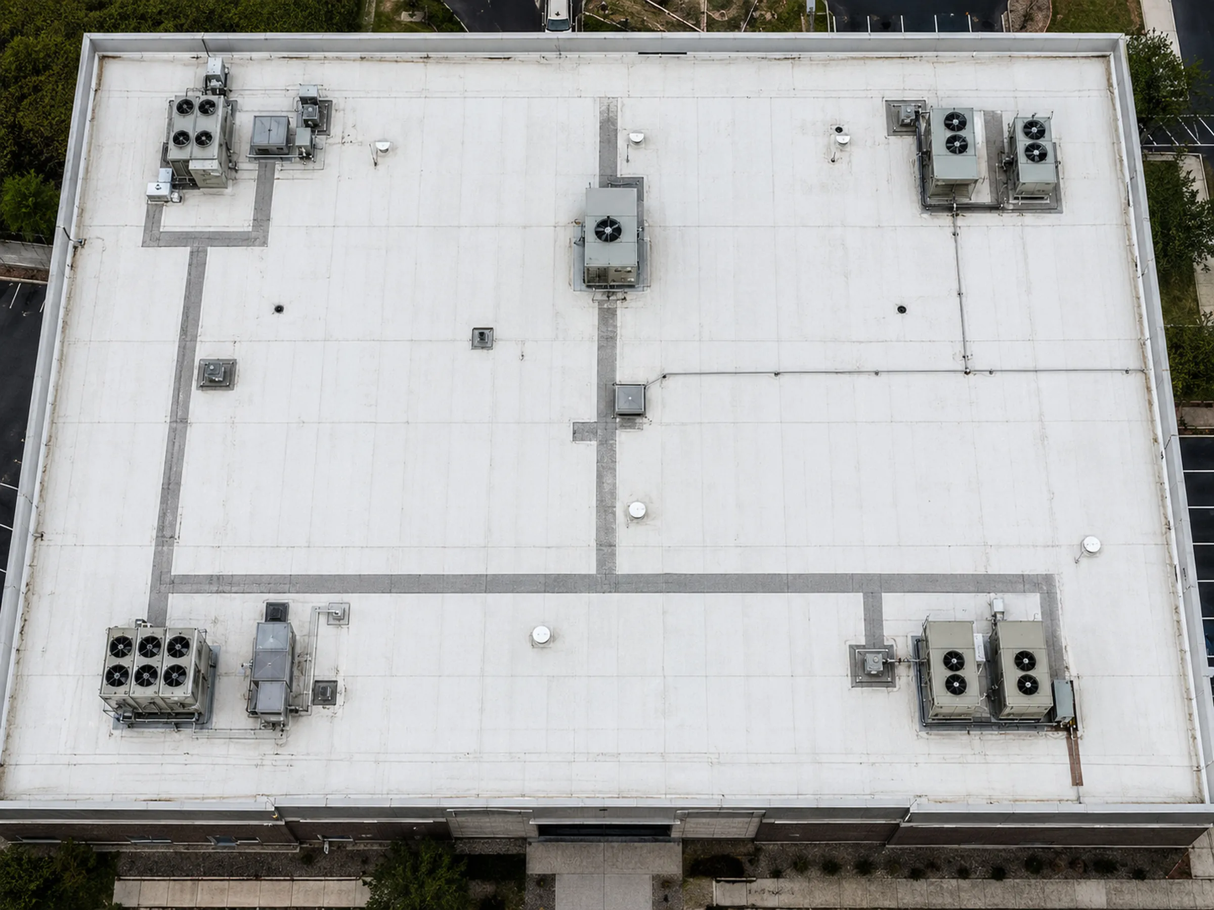
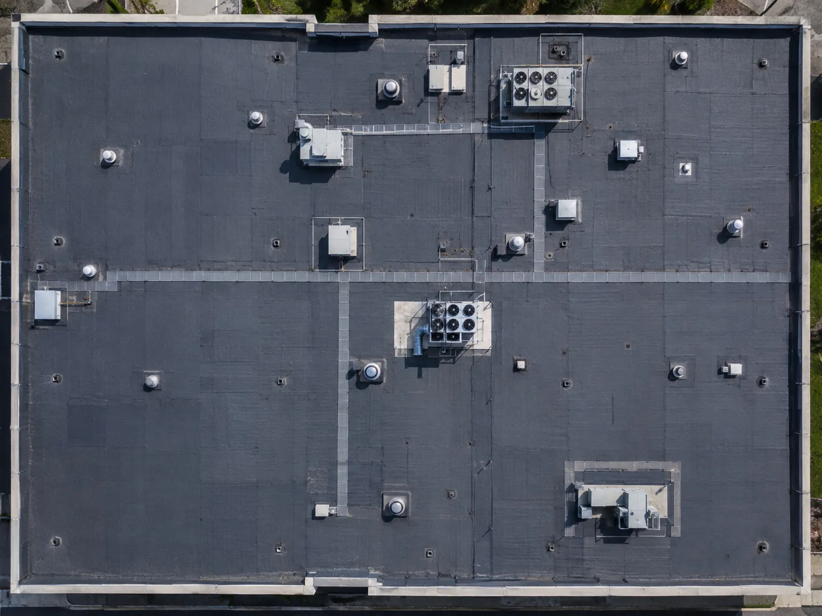
Commercial Roof and Building Envelope Documentation
RGB and thermal capture of commercial roofs and envelopes, for review by qualified parties.
Estimate a solar inspection cost Preliminary ranges, subject to project review.
Portfolio
What Vertex captures
Why Vertex
Capability that matters to the deliverable
Equipment, process, and outputs in short. Each links to the full detail.
Equipment
Vertex operates the DJI Matrice 4T under FAA Part 107 certification.
- RGB and thermal in one mission, same site, same day.
- Waypoints can be reflown, so dates compare directly.
- Part 107 operation, airspace checked before mobilization.
How a project runs
- Project scope and deliverables
- Airspace, site, access, and mission planning
- RGB, thermal, video, or mapping-oriented capture
- File organization and quality review
- Delivery for client or specialist analysis
What you receive
- High-resolution RGB imagery
- Thermal image sets
- Video documentation
- Repeatable progress views
- Organized asset and area folders
- Orthomosaic and 3D outputs
Outputs are agreed during scoping.
Deliverables by serviceService area & project review
Based in Las Vegas. Built for the Southwest. Available nationwide for qualifying utility-scale and enterprise projects.
Tell us what needs documenting. We will confirm what the capture would cover and what you would receive.
- Base of operations Las Vegas, Nevada
- Priority region Southern Nevada and the Southwest
- Wider availability Nationwide for qualifying large-scale projects
Request a project review
Your estimate
Thank you
We’ve received your inquiry and will be in touch.